### Weather Alert Analysis and Explanation
#### Public Safety Information
Alert Summary:
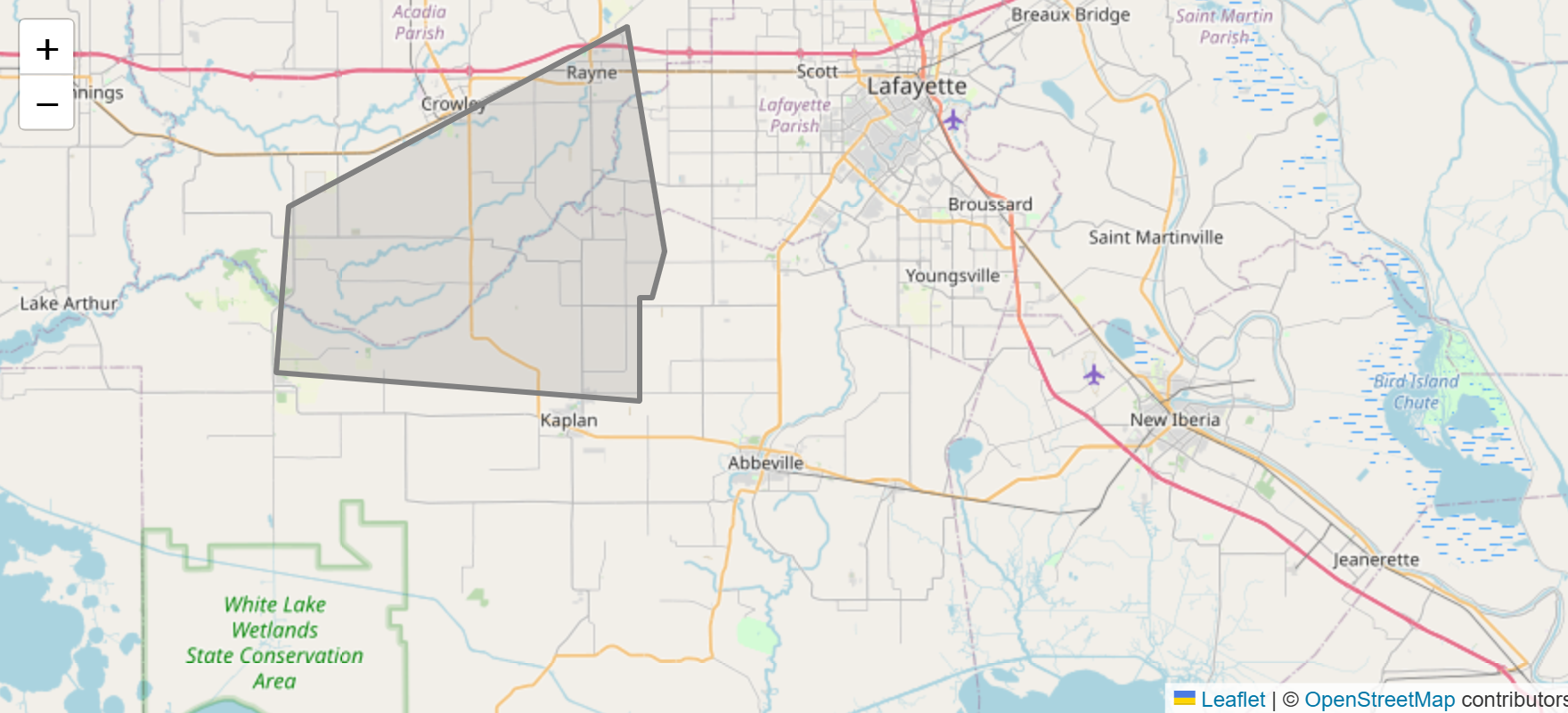
A strong thunderstorm is currently being tracked over Abbeville and is moving east at a slow pace of 5 mph. This storm poses several hazards, including wind gusts up to 50 mph and hail up to half an inch in diameter.
Hazards:
– Wind Gusts: Up to 50 mph
– Hail: Up to half an inch in diameter
Potential Impacts:
– Wind Gusts: These gusty winds could potentially knock down tree limbs and blow around unsecured objects, creating hazards. It’s advisable to secure outdoor items such as patio furniture, umbrellas, and trash bins.
– Hail: Minor damage to vegetation and outdoor objects like cars and rooftops is possible. Consider moving vehicles to sheltered areas if available.
Locations Impacted:
– Lafayette
– Abbeville
– Broussard
– Youngsville
– Erath
– Delcambre
– Maurice
– Meaux
– Milton
Immediate Actions:
1. Secure Loose Objects: Ensure all outdoor furniture, decorations, and trash bins are secured or brought inside.
2. Seek Shelter: If you are outdoors, seek shelter inside a sturdy building to avoid the dangers of flying debris and hail.
3. Monitor Updates: Stay tuned to local weather updates through your preferred media channels or weather apps for any changes or escalation in the storm’s intensity.
—
#### Meteorological Explanation
Storm Dynamics:
The thunderstorm currently over Abbeville is being tracked using Doppler radar, which provides detailed information on the storm’s movement and intensity. The storm is moving eastward at a slow speed of 5 mph.
Wind Gusts:
Wind gusts of up to 50 mph are generated by the strong updrafts and downdrafts within the thunderstorm. These gusts are caused by the rapid descent of air that has been cooled by precipitation, which then spreads out upon reaching the ground. Such gusts can be particularly dangerous because they occur suddenly and with great force.
Hail Formation:
The hail associated with this storm, measuring up to half an inch in diameter, forms when updrafts within the thunderstorm carry raindrops upward into extremely cold areas of the atmosphere. These droplets freeze and can accumulate additional layers of ice as they are repeatedly lifted and then fall through the storm. The size of the hailstones in this storm is indicative of moderately strong updrafts.
Affected Locations:
– Lafayette and Surrounding Areas: These areas are in the path of the storm as it moves eastward. Given the slow movement, the storm could linger, potentially leading to prolonged exposure to gusty winds and hail.
– Abbeville: Currently experiencing the strongest impacts of the storm, with immediate risks of wind gusts and hail damage.
– Other Locations (Broussard, Youngsville, etc.): These areas should prepare for the incoming storm, securing loose objects and seeking shelter as necessary.
The slow-moving nature of the storm means that it could maintain its intensity for a longer period over affected areas, increasing the potential for localized damage.
Radar Indications:
Radar technology allows meteorologists to detect precipitation, estimate wind speeds, and determine the movement and development of storm cells. The current radar indications show the storm’s position and its potential hazards, guiding the issuance of timely alerts to ensure public safety.
By understanding these dynamics, residents and local authorities can take appropriate measures to mitigate the risks associated with this strong thunderstorm.